| LOCATION | DETAILS |
|---|---|
| ADDRESS: | Parcel No. 2911 |
| CITY: | Cedar Street Block 23 , San Ignacio North |
| STATE: | Cayo District |
Inquire about this Property
All fields with an asterix (*) are required.


Description
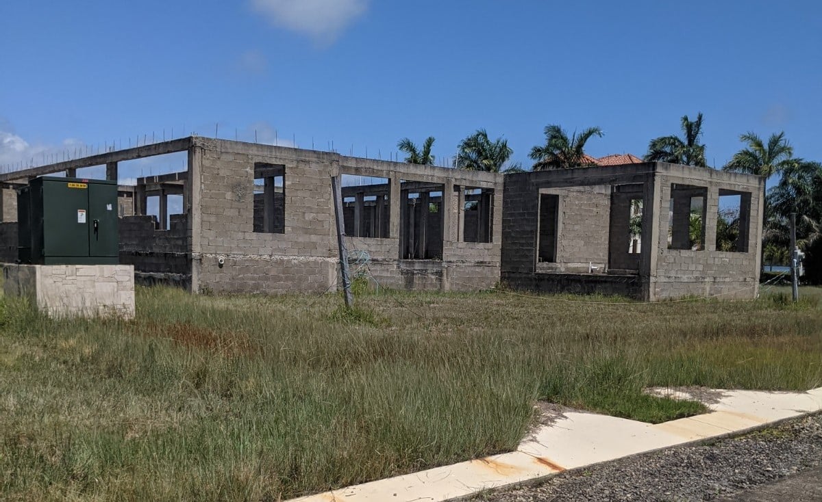
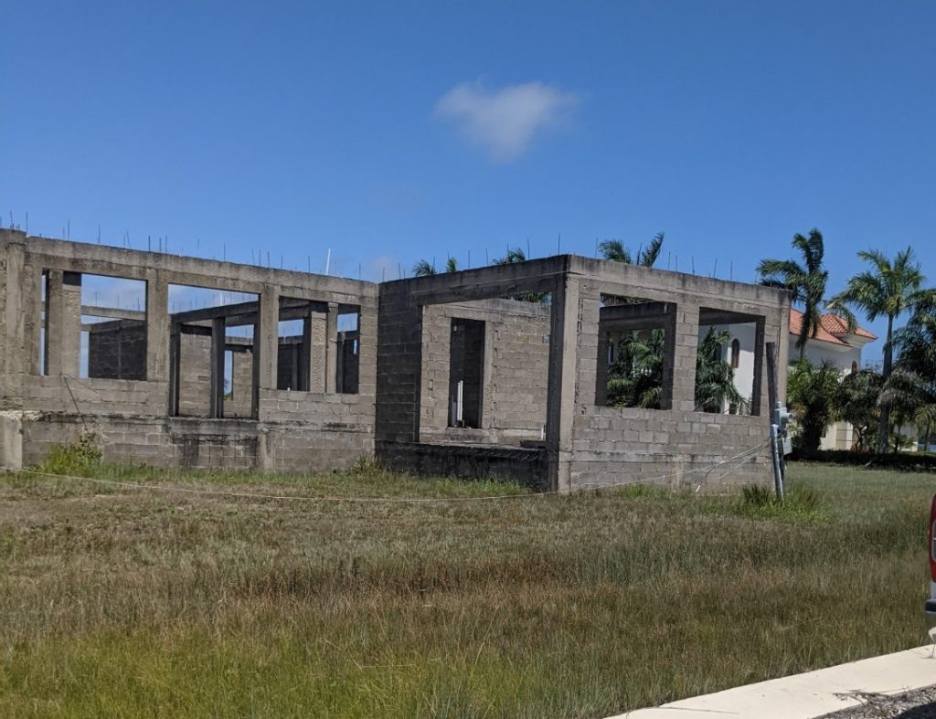
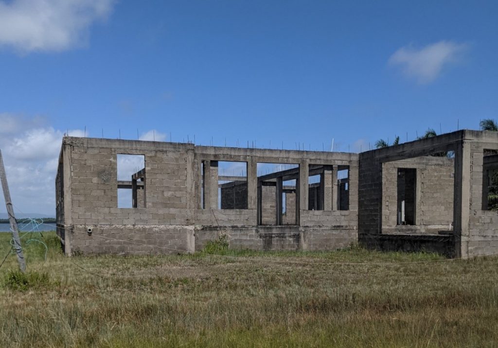
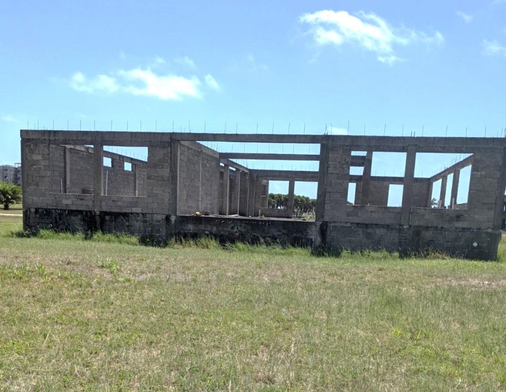
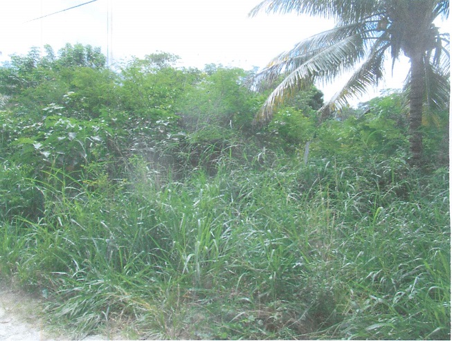
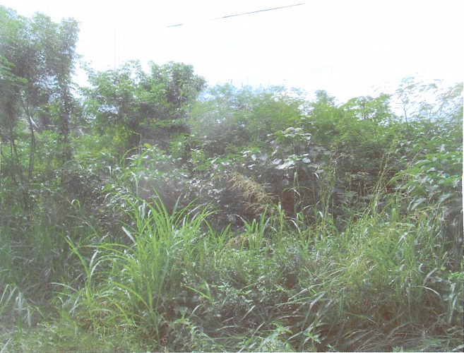
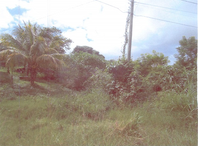
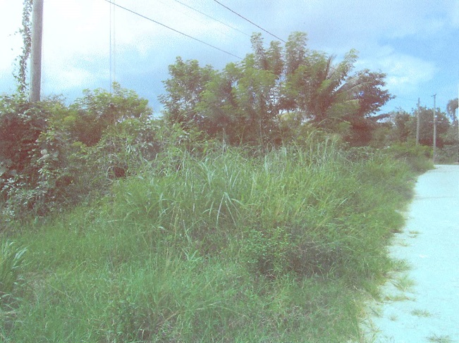
Parcel No. 2911
Block 23, Cedar Street
San Ignacio North
Cayo District
Tenure: Freehold
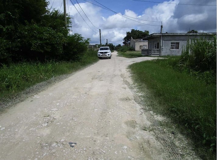
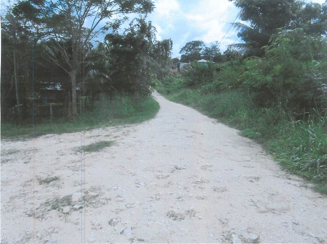
Location:
Cedar Street ,San Ignacio North
Cayo District
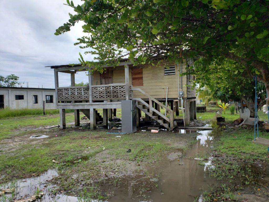
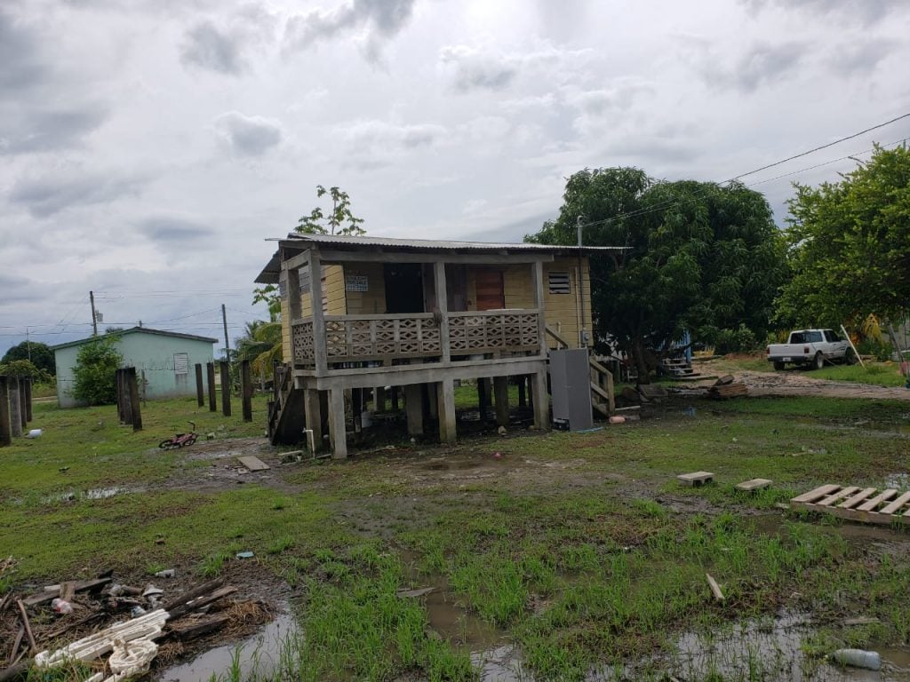
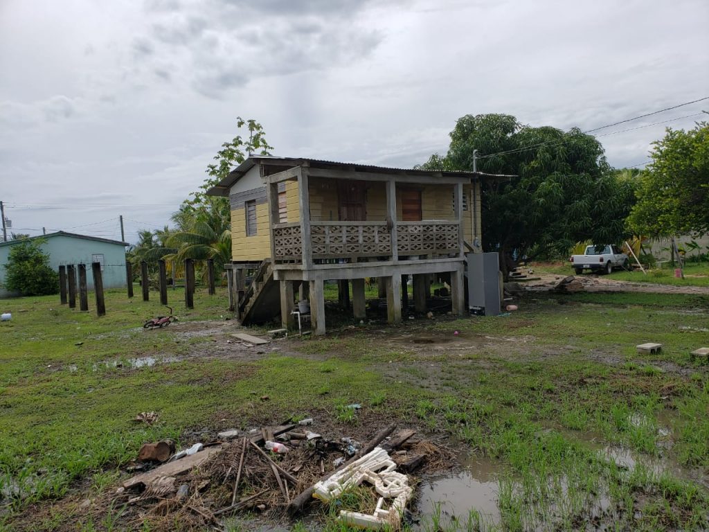
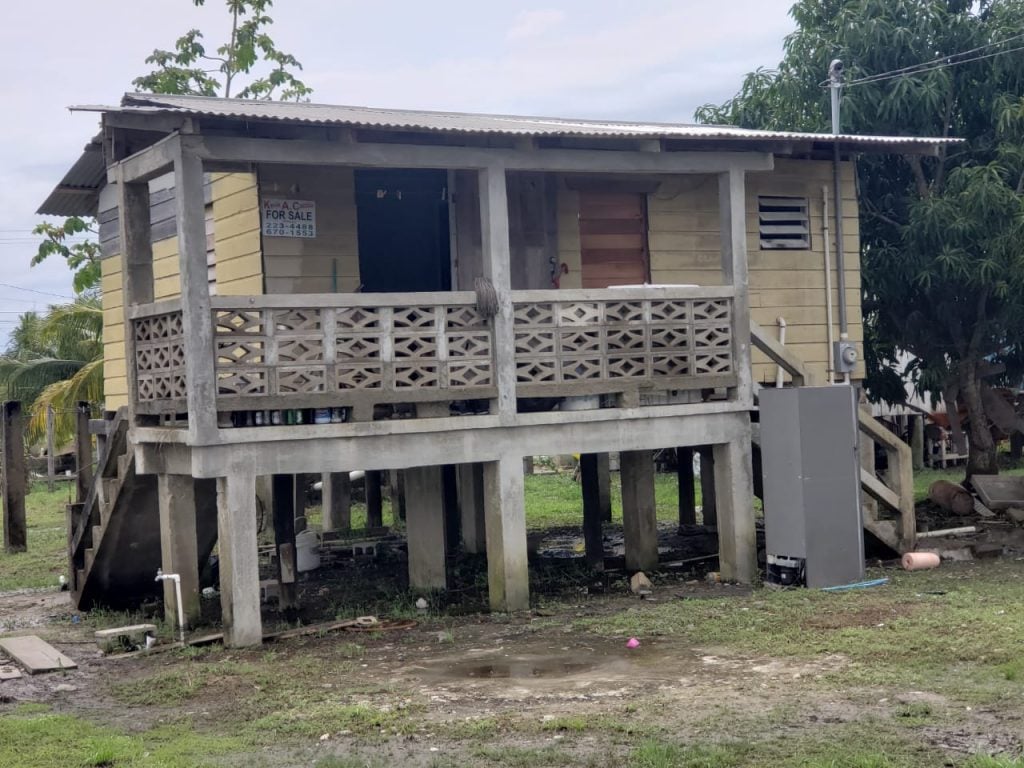
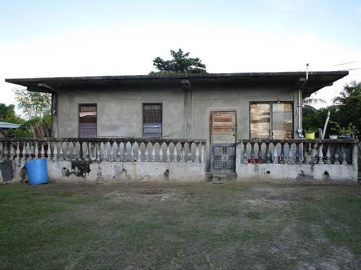
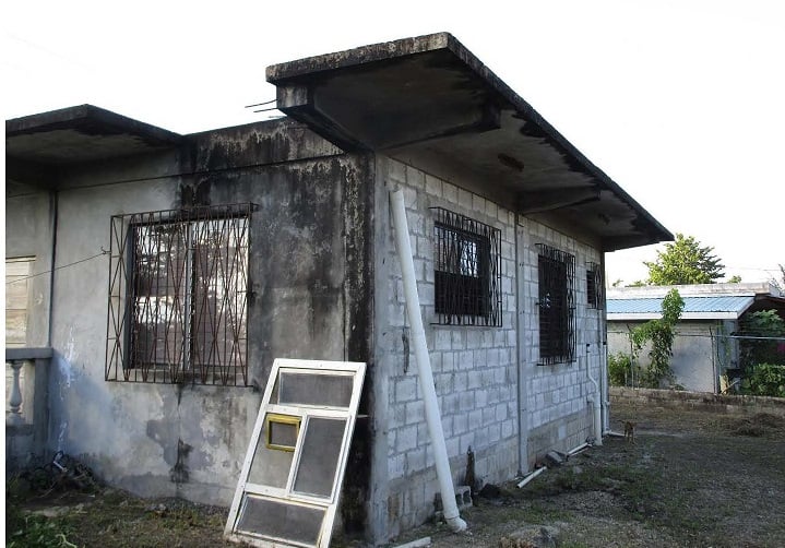
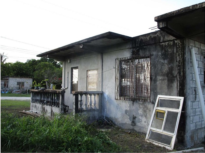
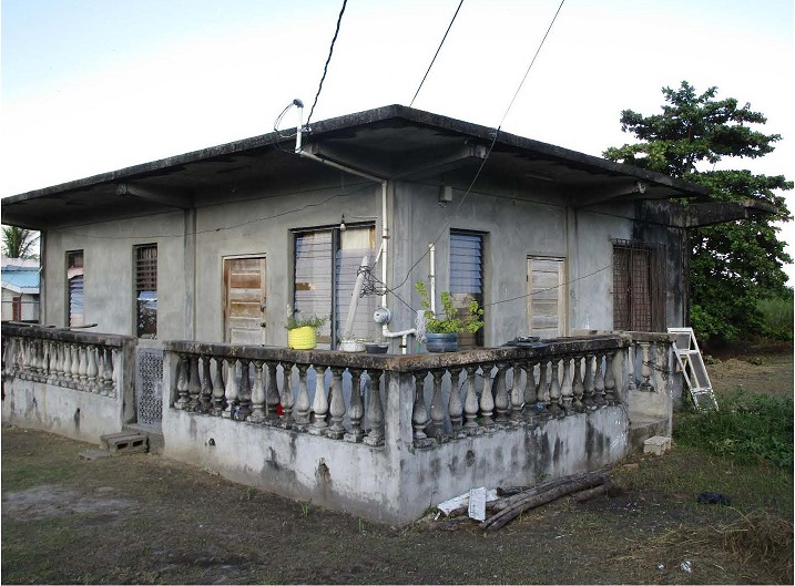
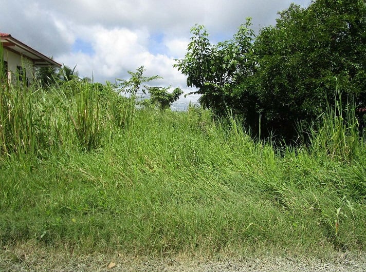
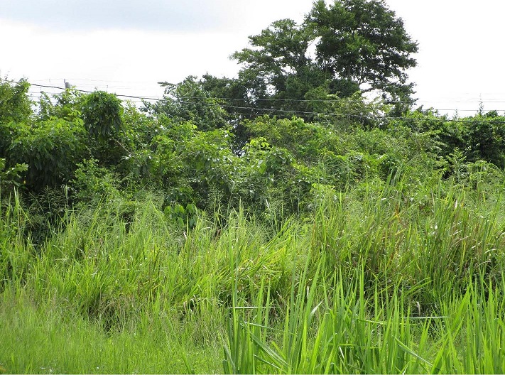
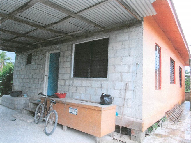
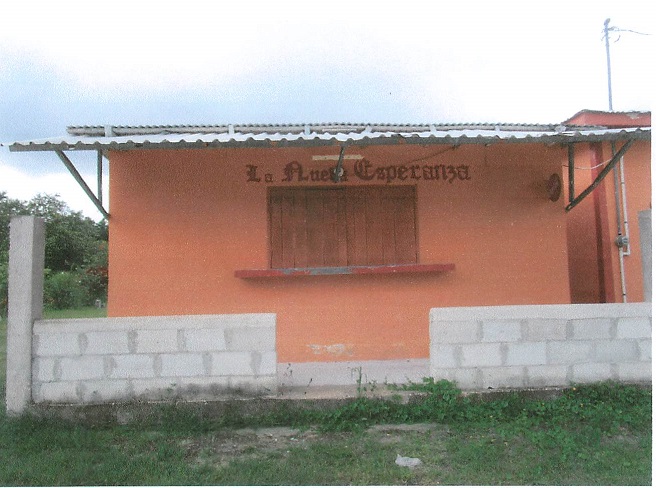
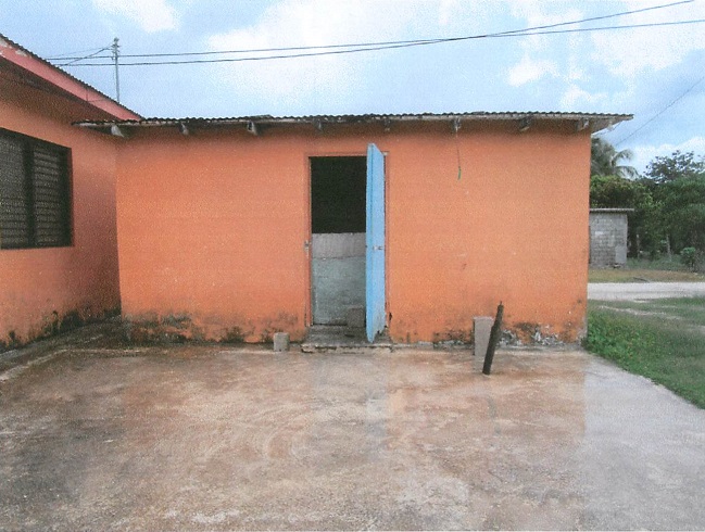
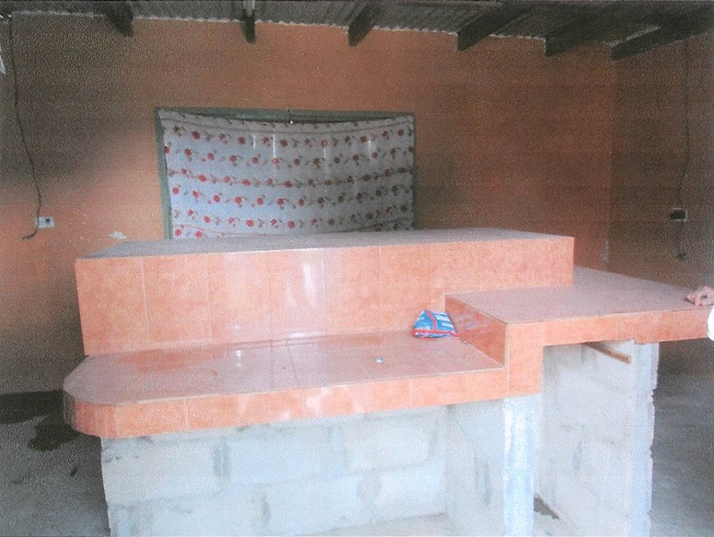
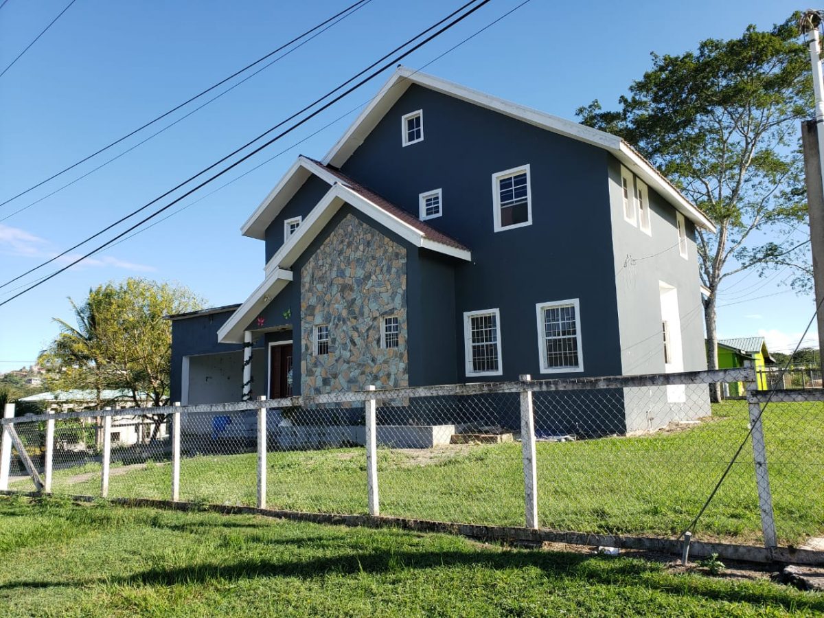
Land Area: 970.485 square meters
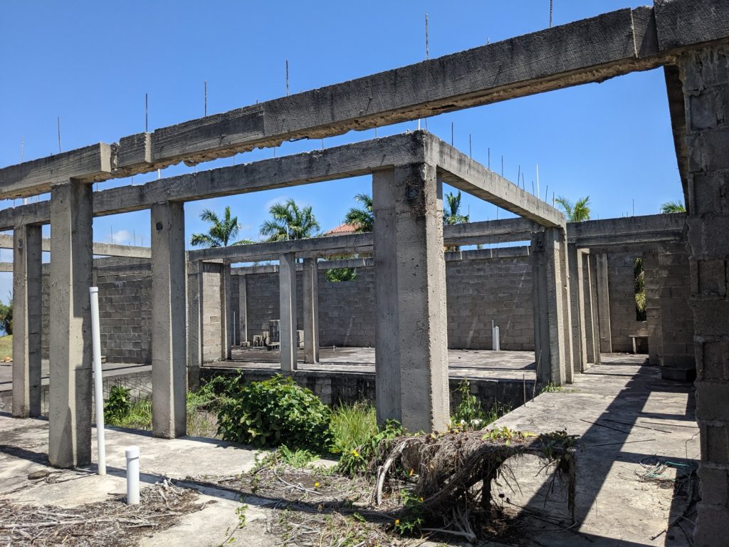
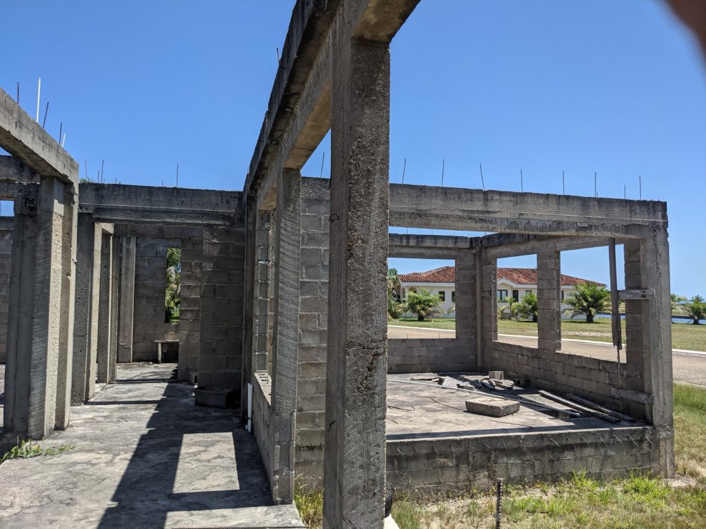
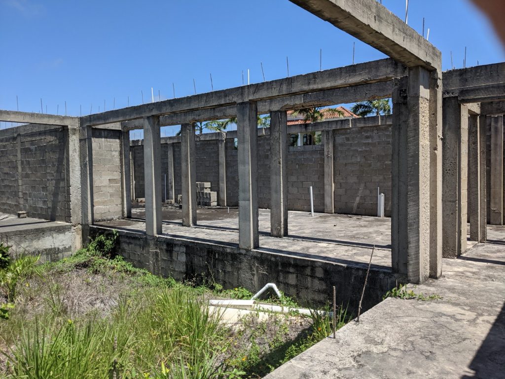
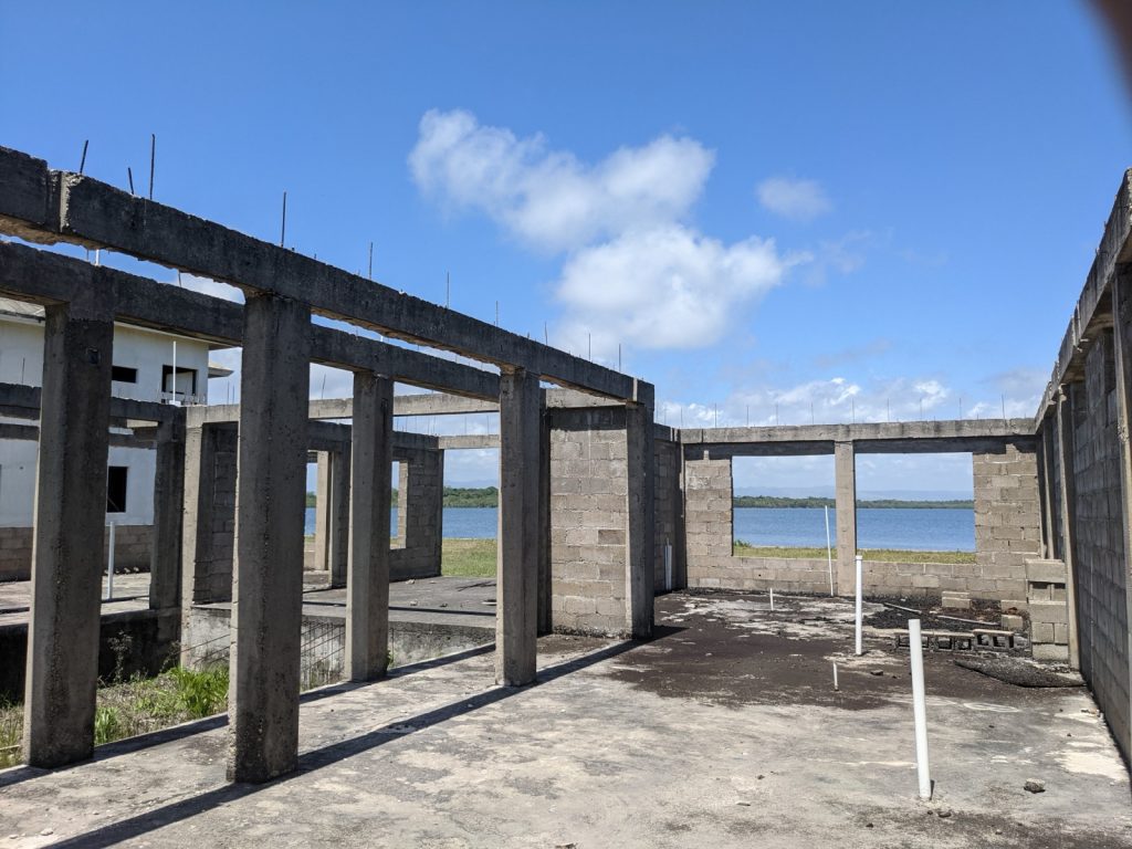
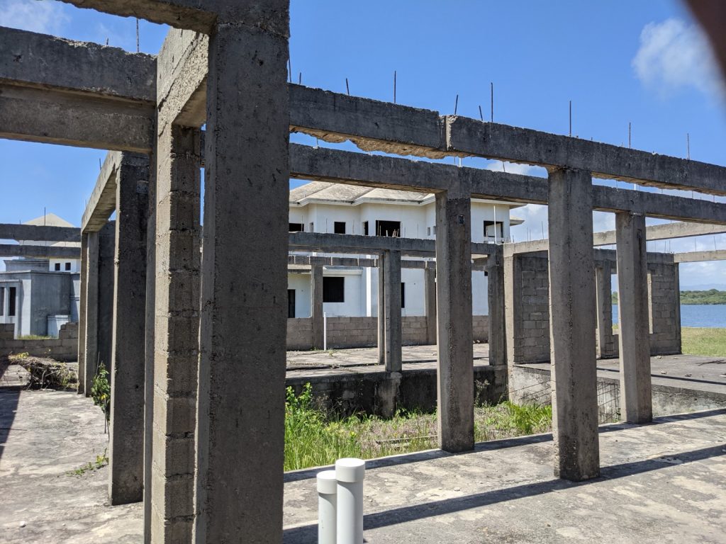
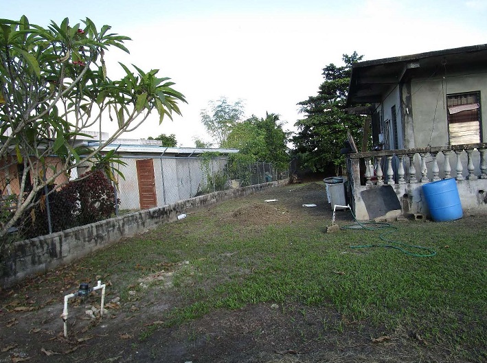
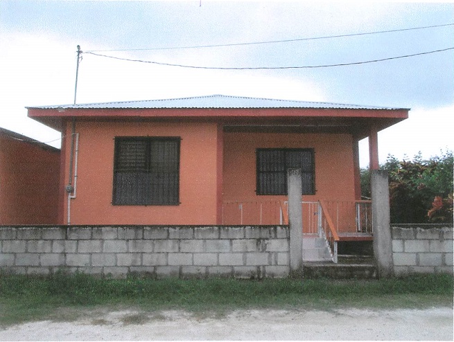
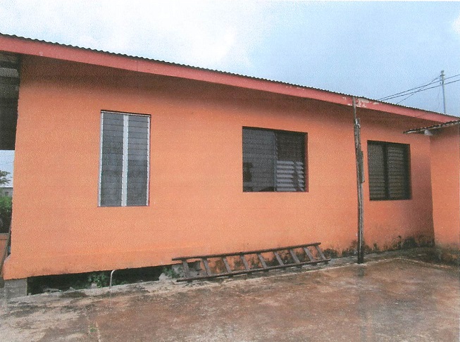
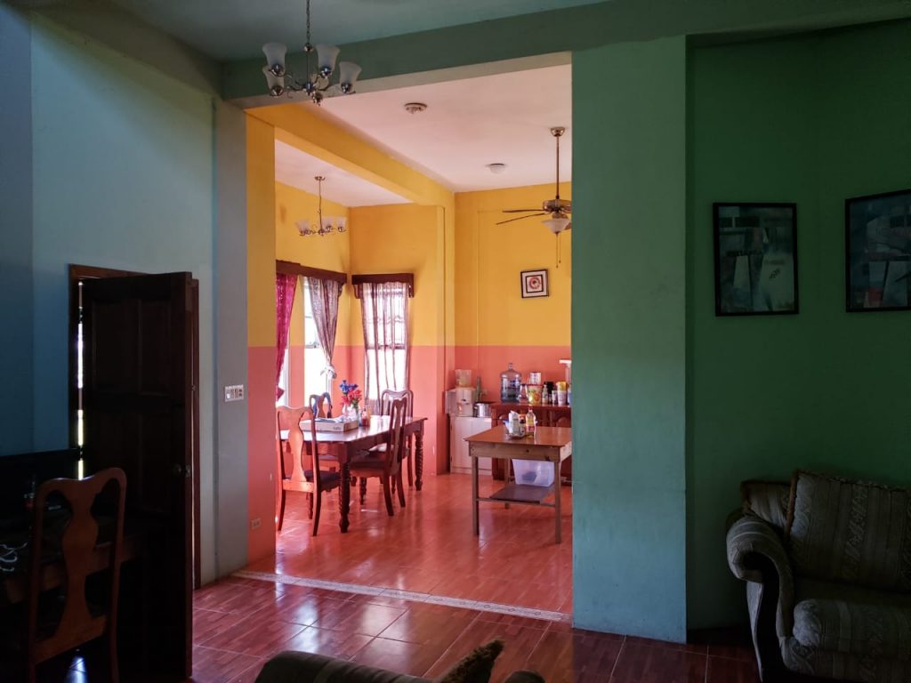
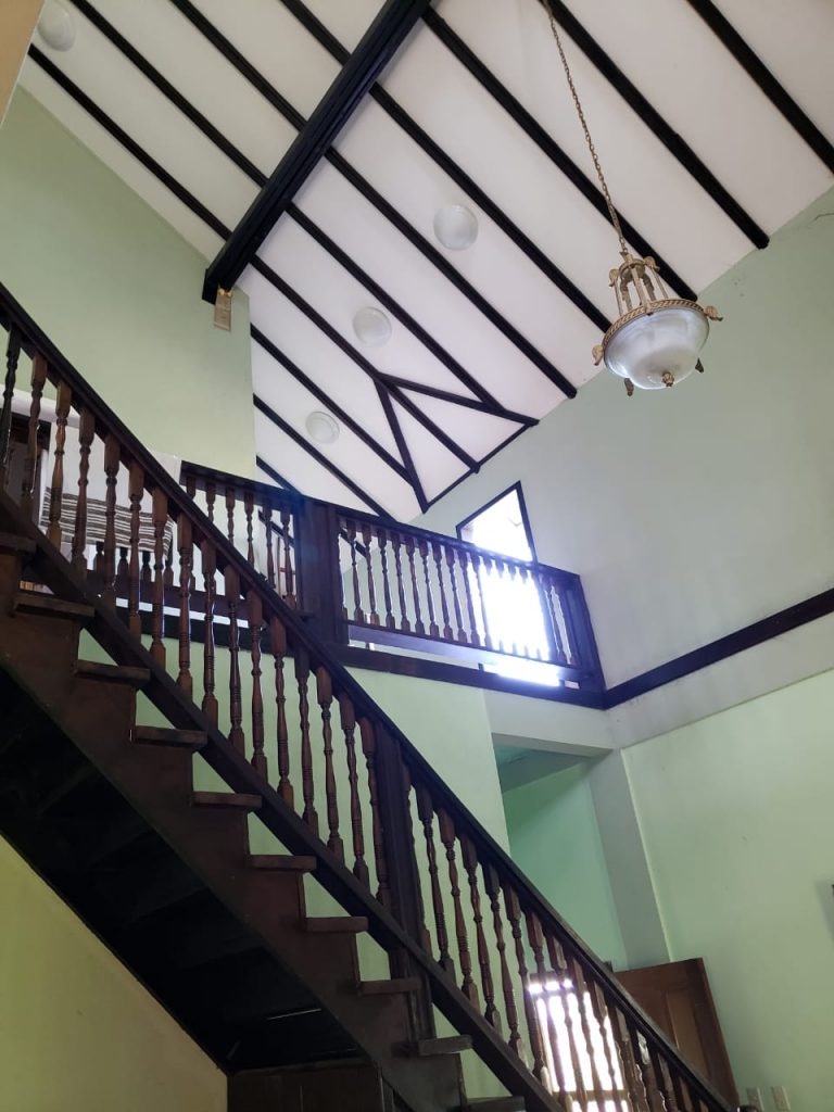
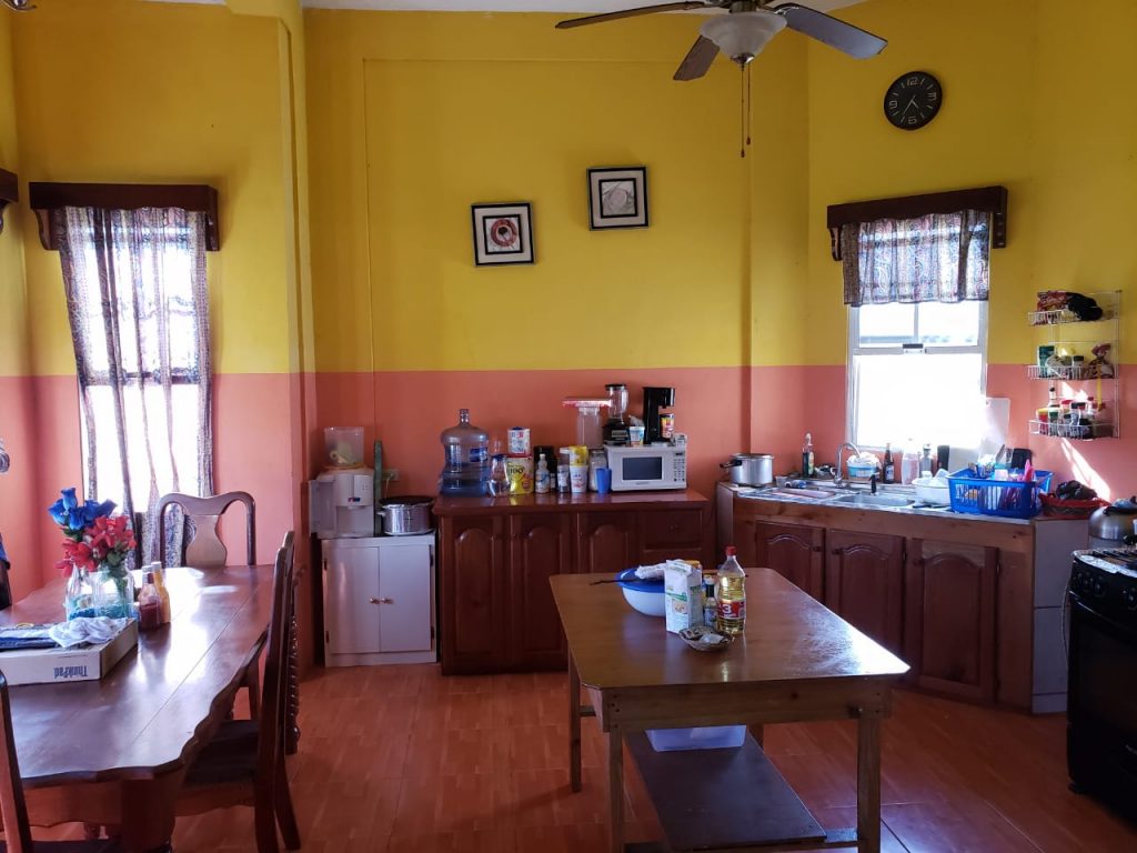
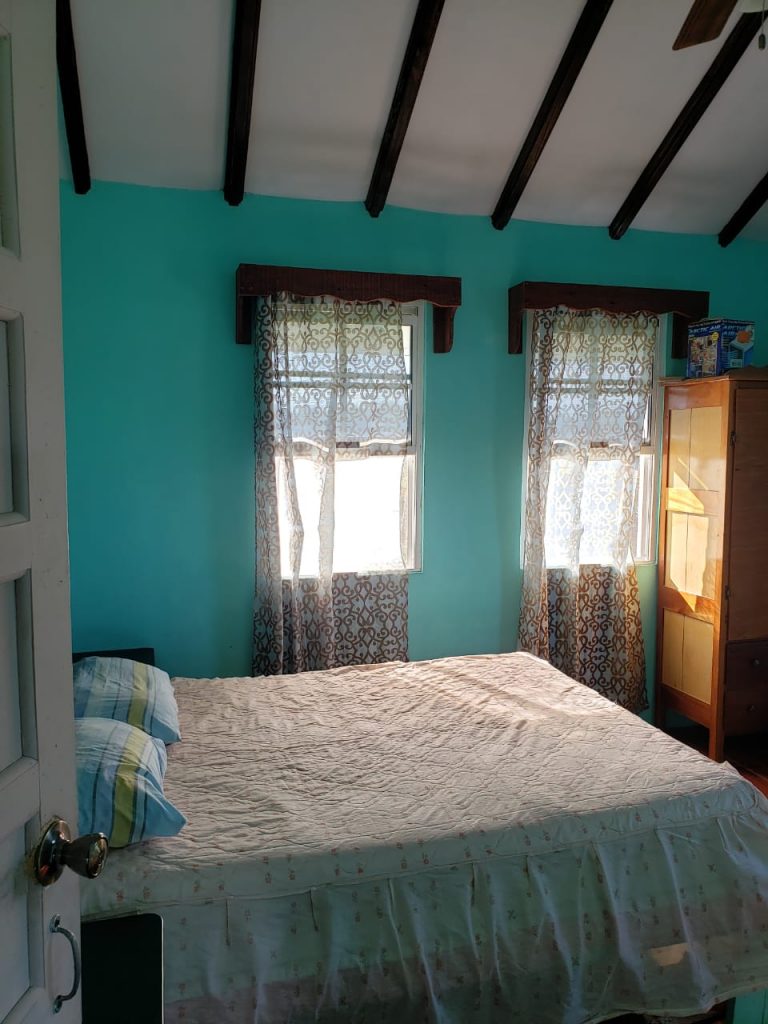
Structures on land: The property has a two storey structure on the lot. On the ground floor it accommodates one master bedroom, one living and dining room, two bathrooms, one kitchen, a laundry room, a foyer and a garage. The first floor accommodates two bedrooms, one bathroom, a study room and a balcony.